  |
Bearsden & DistrictThe Whangie |
  |
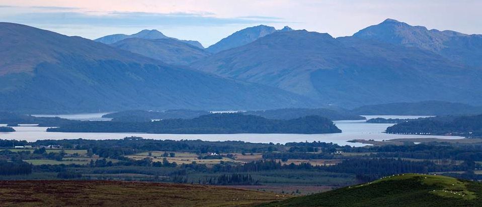 Loch
Lomond and Arrochar
Alps
from Auchineden Hill |
 |
 |
 Ben
Lomond
on route to The Whangie |
Kilpatrick
Hills, Dumbarton Moor
and Burncrooks Reservoir |
The
Whangie and Auchineden Hill
from Burncrooks Reservoir |
 Rock
Pinnacle at The Whangie.
A popular walk and location for practice rock-climbing. The
Whangie is a huge slab of rock
leaving a deep narrow fissure around 100 metres long and 1 metre wide bounded on both sides by steep walls of rock. Local folklore says that The Whangie was the work of the Devil. After hosting a gathering of witches and warlocks in the Kilpatrick Hills, Satan was flying to another such meeting at Strathblane, and flicked his tail, renching apart the hillside below him. The
Whangie was actually caused by a geological phenomenon called glacial plucking. During the last ice age, Scotland was covered in huge glaciers that carved out the lochs and the highlands. The
extreme cold froze the glacier to the side of the hill. As the glacier began to move, it plucked the hillside, causing the long fracture to appear. These pinnacles were rendered from the rock by the movement of the glacier, and sit on the opposite side of the slab of rock from the hill itself.
"Whangie" is Scots for a slice, eg "a whang o'cheese". |
|
Rock
Pinnacle
at The Whangie. |
|
The Whangie |
|
Rock Outcrops at The Whangie |
Rock
Cliffs
at The Whangie |
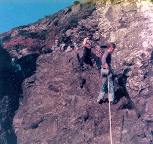 Abseiling
at The Whangie |
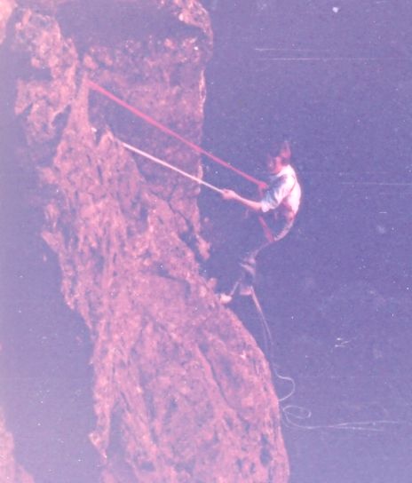 Abseiling
at The Whangie |
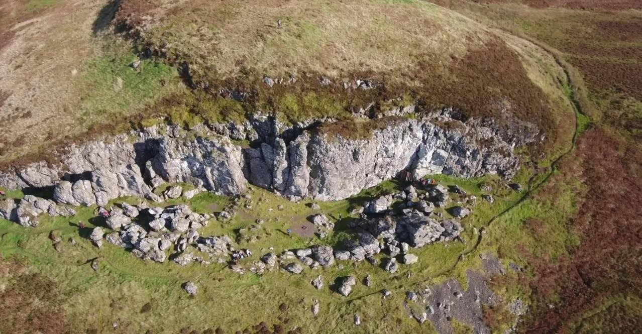 The
Whangie
- Aerial View |
Queen's
View car park
at start of route to the Whangie Motoring :: Motor Cars |
 Map of
the Whangie
|
 Route Map of
the Whangie
|
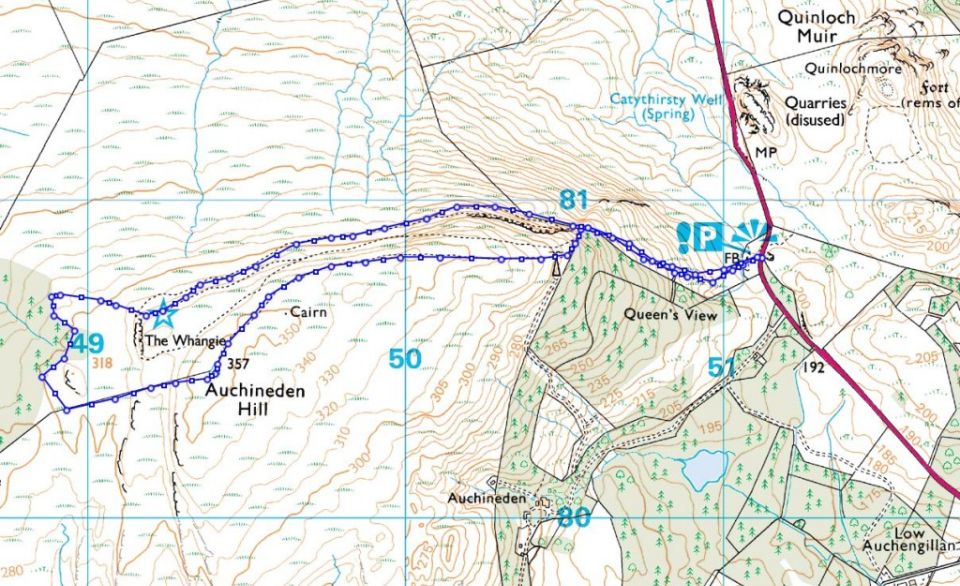 Map of
the Whangie
|
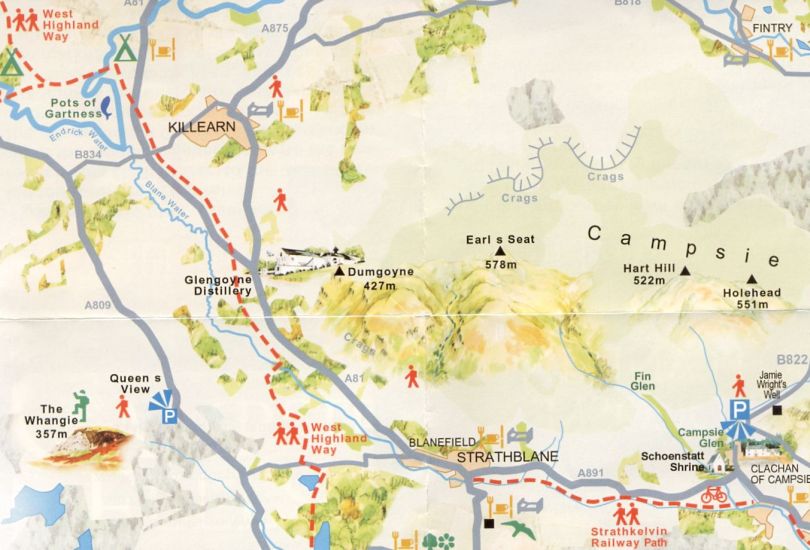 |
AUCHINEDEN HILL & WHANGIE WALK - ROUTE DESCRIPTION:
 :: Dumgoyne
& Campsie Fells
  :: West Highland
Way
Glencoe | Ben Nevis | Knoydart | Isle of Skye | Isle of Arran
The Eastern Highlands | The Central Highlands | The Southern Highlands | The NW Highlands
Google
Analytics