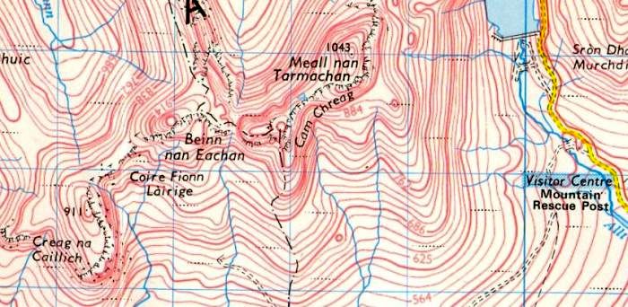
Route Map
of
Meall nan Tarmachan
|
|
MEALL NAN TARMACHAN
- ROUTE DESCRIPTION:
Location: Perth and
Kinross
Map: OS Landranger 51
Distance: About 6 miles [10km]
Time: 4-6 hours
Grade: Moderate mountain walk with some scrambling
This
approach leaves the Lochan na Lairige road on the high pass between
Loch Tay and Glen Lyon and takes a line of least resistance up the
hill’s SSE ridge to its 923m top. A quick descent then a steeper pull
leads to
the summit.
While some Munro-beggars simply visit the cairn and return the some
way, most hillwalkers continue along Tarmachan's 5km-long ridge, a
twisting promenade that traverses three other prominent tops. In
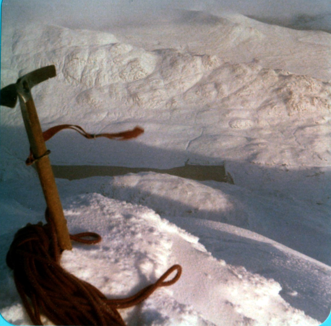
wintry conditions snow can add an Alpine feel to the narrow sections of
the ridge. It's a good day out, but it feels as though the direction of
the
ridge is carrying you further and further away from where you want to
finish.
Once the delights of the ridge end, you have to drop into a dark
corrie, pass a disused quarry and follow a bulldozed track for 3km back
to the start, a dour climax to what is one of the most exhilarating
little
ridges in the Southern Highlands.
The mountain deserves better - an ascent via the ridge that bounds the
western side of Coire Riadhailt, to the north-west of Meall nan
Tarmachan.
By starting on the Glen Lyon side of the Lochan na Lairige road, close
to the upper reaches of the Allt Baile a‘ Mhuilinn, you can reach the
crest of this ridge in about 30 minutes. Once this heather thrutch is
out of the way you can continue up glorious deer cropped turf slopes
that climb gradually towards an obvious gap in the Tarmachan ridge
between Meall
Garbh and Beinn nan Eachan. lt’s a lovely ridge, narrowing as it climbs
higher with rounded grassy slopes giving way to craggy, gully seared
slopes with the steep western crags of Meall nan Tarmachan looking
increasingly dramatic across the void of Coire Riadhailt. To the west Meall Ghaordie rises impressively out of
Glen Lochay and beyond it stretch the great hills of Breadalbane.
Following this easy approach ridge, things change dramatically when you
reach the Tarmachan ridge itself. A confusion of high-level knolls and
rockv knobs abound with the odd crag thrown in for good measure. You
can, if you wish, wander along the south-western section of the ridge
beyond Beinn nan Eachan before retracing your steps back to this point,
in
fact the best of the ridge now forms the middle section of the
horseshoe walk.
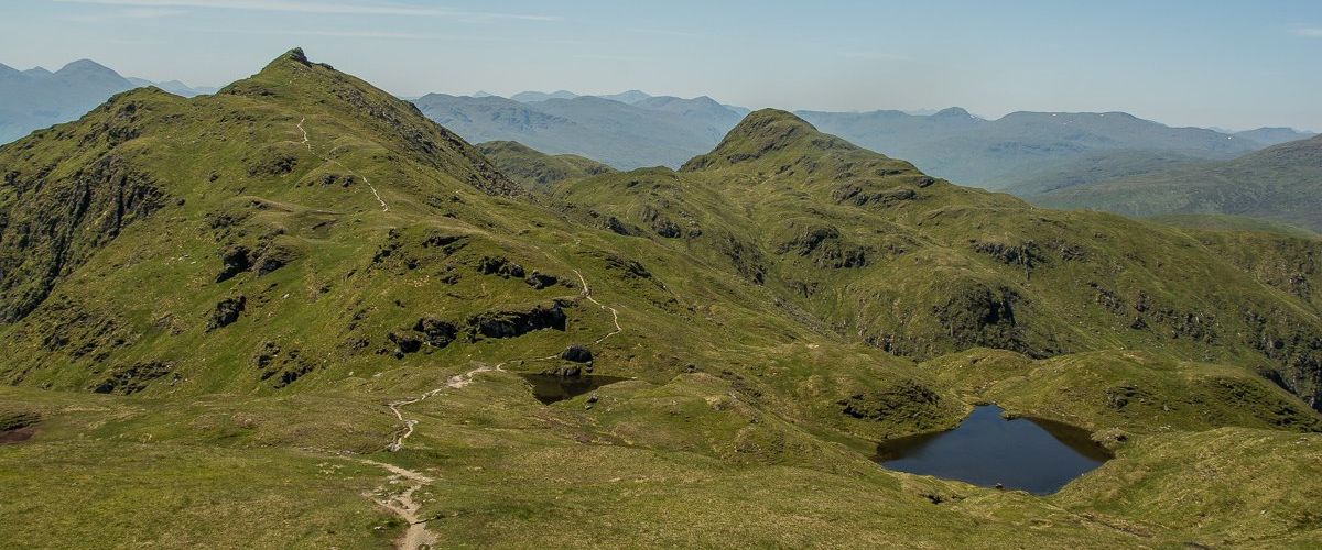
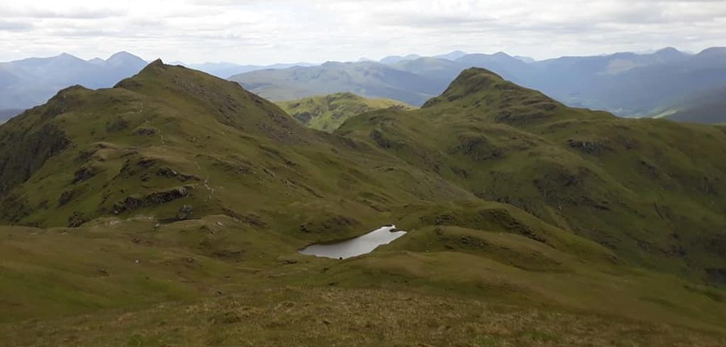
steeply up the scrambly crag of Meall Garbh, over the narrow, airy
summit and down to a broad bealach before the final rise to the Munro,
Meall nan Tarmachan at 1044m / 3425ft. To the east rise the big tops of
the Ben Lawers group, the highest hills
in the Southern Highlands, and to the south
the rather uninspiring plateau on the south side of Loch Tay. But
the real views are to the north, with Schiehallion
lifting its head over the Carn Mairg group and the far outline of the
blue Cairngorms.
It's north you head now, over a series of four steep little noses ( the
difficulties can be avoided on the left ) and over the ridge of Creag
an Lochain with steep gullies dropping into Lochan na Lairige. Easy
grassy slopes then drop you down swiftly to the roadside and your
starting point — a fine horseshoe ridge of about 10km and an infinitely
more rewarding
route than the more popular one from the National Trust for Scotland
car park. lt’s well worth trying.
Route:
Start and finish on the Lochan na Lairige road at GR NN582417
Leave the road and head W to gain the N ridge of Meall Glas.
Follow this ridge S over Meall Ton Eich to reach the main ridge just E
of Beinn nan Eachan.
Bear E and scramble to the Summit of Meall Garbh,
descend to a broad bealach and climb easy slopes to the summit of Meall
nan Tarmachan.
Continue N, over four steep noses and the crest of Creag an Lochain.
Follow grassy slopes back to the road.
Meall nan
Tarmachan
Gallery 

