

From the Sherpa capital of Namche Bazaar the well-trodden trail to Everest base camp, known locally as the 'yak-route', can be a frustrating, single-file queue but on a return visit I took a circular route crossing two high passes on quiet trails with secluded campsites to explore more fully the grandeur of the Khumbu Himal.
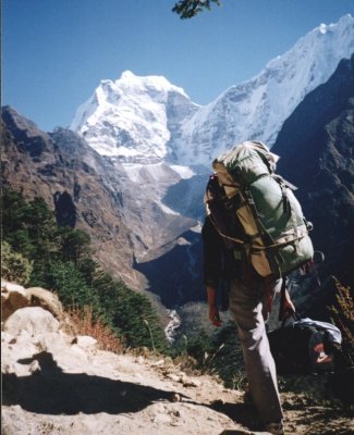 Kang Taiga on ascent to Thyangboche |
Beyond Thyangboche with its renowned gompa and fabulous view up the beautiful Imja Khola Valley to Everest ( or more appropriately Chomolungma - 'Goddess Mother of the World' ), protruding above the great Nuptse-Lhotse mountain wall, I branched off with my trekking crew beneath the graceful Ama Dablam into the less frequented Chukhung Valley.
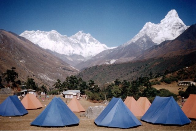 Lhotse-Nuptse Wall and Everest Summit from Thyangboche |
On a bright, clear morning I crossed the sparkling waters of the Imja Khola from our campsite in a stone-walled yak-pasture at Bibre to climb steep, tussock-grass slopes onto a small plateau directly beneath the towering North Face of Ama Dablam.
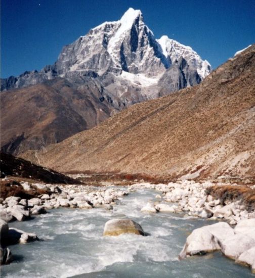 Taboche from the Imja Khola |
Far below lay the cluster of grey, stone-built houses of Dingboche, the highest permanent settlement in the region, while further to the south the white cone of Numbur jutted above the long, jagged arete of Kwande Ri. A faint breeze rippled the surface of a lochan to distort the reflections of the shapely Taboche and Cholatse prominent to the west. On the northern flank of the Chukhung Valley, rising sheer above great moraines and scree slopes, loomed the massive wall stretching between the great peaks of Nuptse and Lhotse ( the world's 4th highest mountain ).
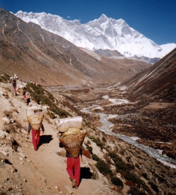 Nuptse and Lhotse from the Imja Khola Valley |
In the afternoon we moved camp higher up the boulder-strewn valley and, next day, I trudged to the top of Chukhung Ri overlooked by the black, banded summit of Lhotse. I seemed to be on a level with the summit ridge of the nearby Island Peak ( the most popular of the so-called 'trekking' peaks ). Across the valley a long arete of rock and ice culminated in the dramatic pyramid of Ama Dablam.
Two days later on the stiff ascent from Bibre to the Kongma La we enjoyed a superb vista of the giant peaks of Baruntse and Makalu ( the world's 5th highest mountain ) soaring skywards above the ice-walls at the head of the Chukhung Valley. We encamped at the entrance to a wide rocky amphitheatre with a magnificent outlook over to Ama Dablam.
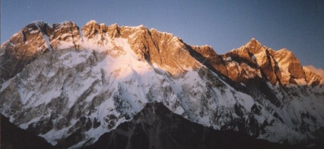 Sunset on Nuptse-Lhotse Wall |
Late in the afternoon I scrambled to the top of a small peak where I huddled amongst the rocks and watched its silhouette edge higher on the vast Nuptse-Lhotse wall directly opposite. As the sun and temperature dropped the huge snow fields faded from dazzling, marble-white, through silver to leaden grey before suddenly glowing golden in the final rays of the setting sun.
Next morning we headed through the craggy amphitheatre and climbed into a higher cwym. Skirting two lochans, a short scramble gained the cairn, bedecked with multi-coloured prayer-flags, on the narrow col of Kongma La. Above us loomed the jagged ridge of Nuptse while beyond the sapphire-blue lochans a fine view unfolded of the heavily-glaciated, upper Chukhung Valley.
On the far side we rapidly lost height as we plunged down steep, rough scree towards the great, stony river of the Khumbu Glacier. The pleasant meadows of an ablation valley provided a fine, secluded campsite with a spectacular outlook on Taboche and Cholatse.
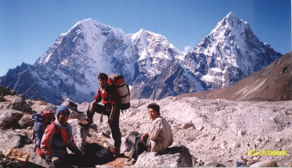 Taboche and Cholatse from the Khumbu Glacier |
Before breakfast in the cold shadow of Nuptse I climbed to the top of a spur falling from its lofty summit to gain an excellent vantage point. Immediately below lay the opaque, green waters of the Lingten Pokhari ensconced beneath the moraine wall of the Khumbu Glacier. Across the glacier, bare, barren tundra led up to the charming, perfectly-conical Pumo Ri. It was only a half-day to traverse the rugged moraines to rejoin the 'yak-route' at Lobuje.
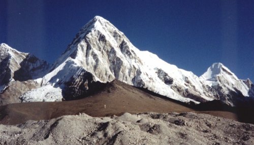 Pumori above Kala Pattar from Gorak Shep |
The following day, with Nima, my Sherpa guide, I made the pilgrimage to Kallar Pattar at the foot of Pumo Ri to gaze in awe at the snow-plumed summit of Everest floating serenely high above in an azure sky - a fatal loadstone for many mountaineers.
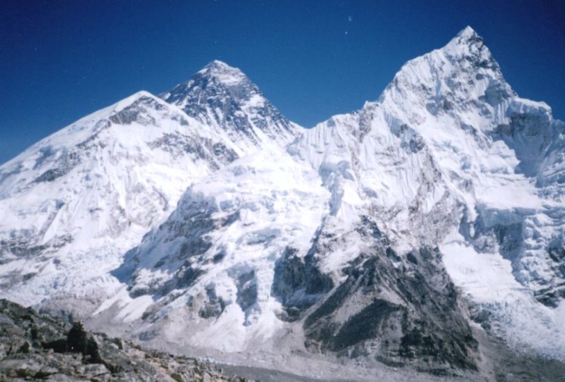 Everest and Nuptse from Kala Pattar |
Leaving the Khumbu Valley we climbed past the picturesque, turquoise-green waters of the Tshola Tsho nestling beneath the elegant Cholatse and encamped beside a stream beyond the small cluster of lodges at Dzongla.
The steep climb to the snow-covered Chola Pass was aleviated by frequent stops to admire the splendid view back down the valley to the great pyramid of Ama Dablam. From the col at the head of the easy-angled neve there was also a fine view across the snow fields to the lofty spire of Lobuje Peak. Steep, loose scree led downwards to boulder-strewn moorland and on to the huddle of dwellings at Thangna.
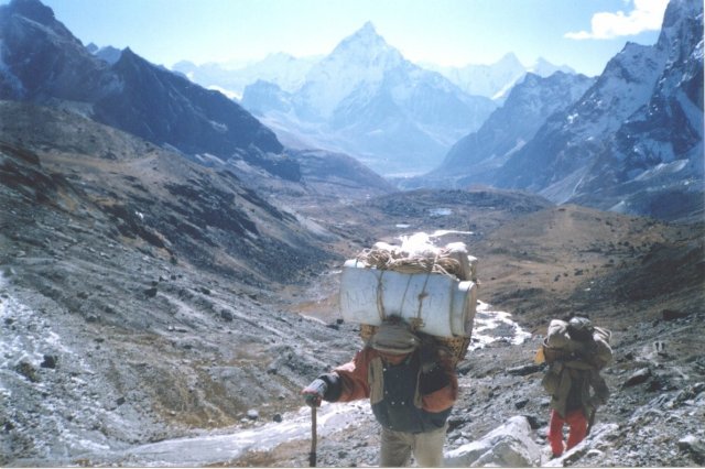 Ama Dablam on ascent to Cho La |
In the morning we traversed the broad, shattered moraines of the Ngozumpa Glacier and joined the trail to the popular trekking destination of Gokyo Village. The 5300 metre hilltop of Gokyo Ri above the small summer settlement affords a superb outlook extending from the turquoise waters of the lake across the Ngozumpa glacier to the jagged teeth of Cholatse and Taboche and the black, rocky summit wedge of Everest protruding above a high escarpment. Some claim it is a better viewpoint than the more frequented Kallar Pattar.
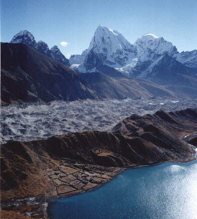 Ngozumpa Glacier and Taboche and Cholatse from Gokyo Ri |
From Gokyo we continued up the savagely glaciated valley to encamp in splendid, silent solitude at the picturesque Khumbu Panch Pokhari ( a set of five small lakes ) amidst a tremendous cirque of himalayan giants:- Cha Kung, Gyachung Kang and the immense, 8000 metre Cho Oyu ( the world's 6th highest mountain ) festooned with hanging glaciers and tumbling ice-falls.
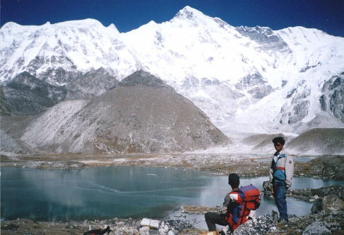 Cho Oyu from the
Panch
Pokhari at head
of Gokyo Valley |
In the afternoon I climbed on huge boulders to the top of a rock peak to command a close-up view of the mighty ramparts of snow and ice sweeping round the skyline from Cho Oyu to Gyachung Kang. Beyond the shining white-ice and grey moraines of the Ngozumpa Glacier the stately twin summits of Kang Chung formed a prominent landmark Also visible was the merest tip of Everest. Far below I could see our tents amidst the cluster of bright blue lochans. Returning to camp the still, dark waters of one of the lakes mirrored perfectly the cubic, castle-like Cha Kung.
It was with some reluctance that we departed from the spectacular beauty of the Khumbu Panch Pokhari - a himalayan campsite to be long remembered.
Back at Gokyo we were entrapped for five days by a freak, unseasonal snowstorm and had to be airlifted out by helicopter to Namche Bazaar.
Everest Base Camp Map ( UK , USA )
Khumbu Region Map ( UK , USA )
Island Peak - Climbing Map ( UK , USA )
Himalaya Map - Nelles ( UK , USA )
Nepal Trail Map - Nelles ( UK , USA )