  |
The Scottish HighlandsMount Keen
|
  |
 |
|
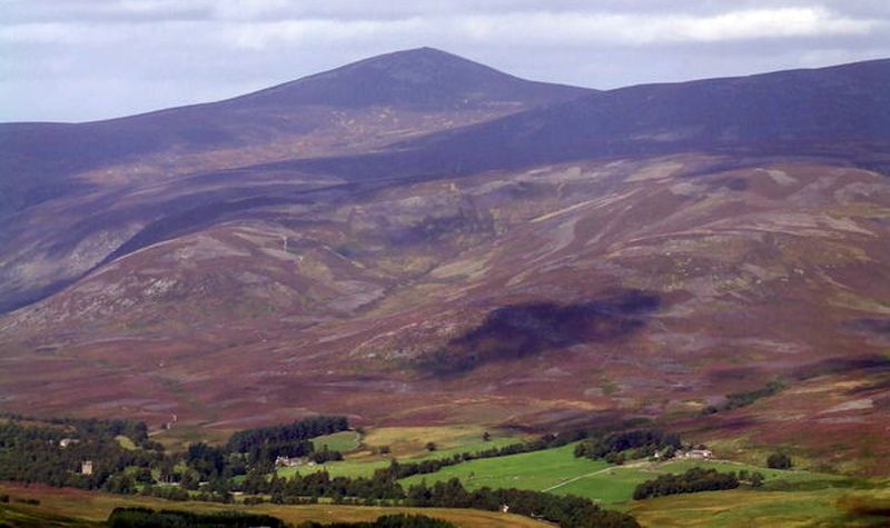
Mount Keen from Glen Esk |
 |
|
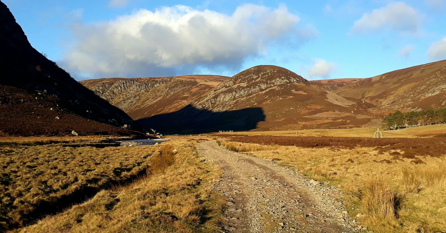
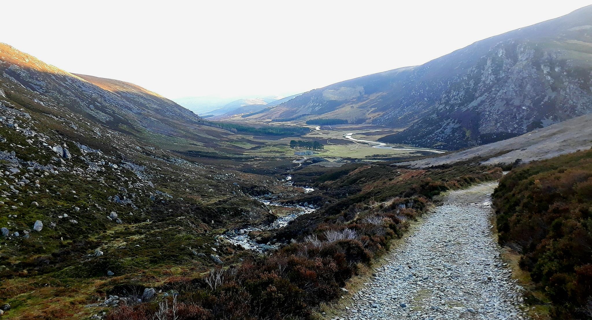
Glen Esk on route to Mount Keen |
 |
|
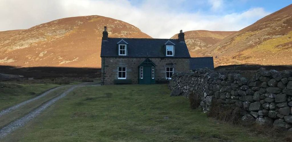
Invermark
Lodge
|
 |
|
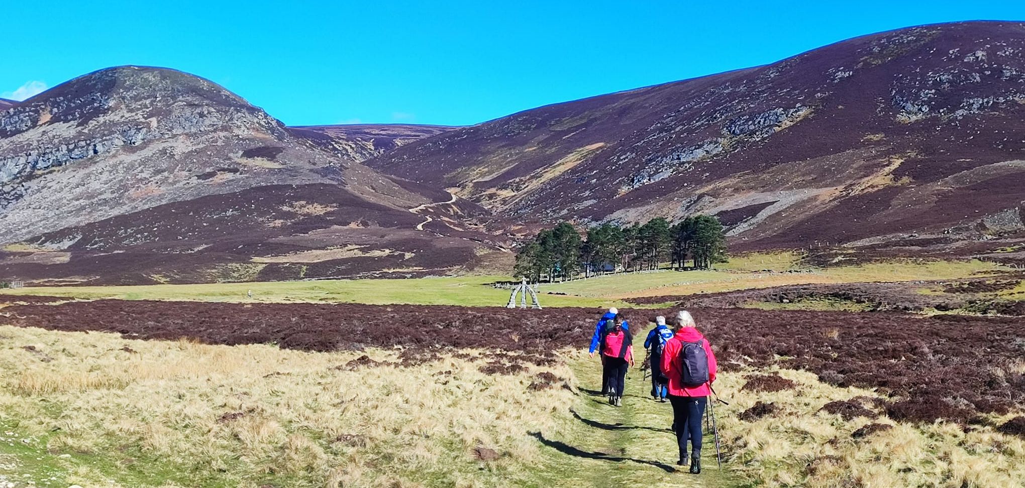
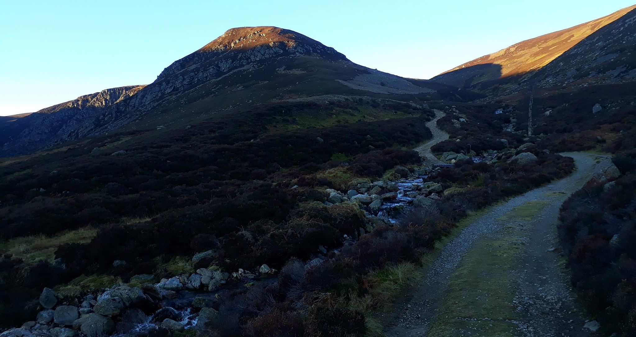
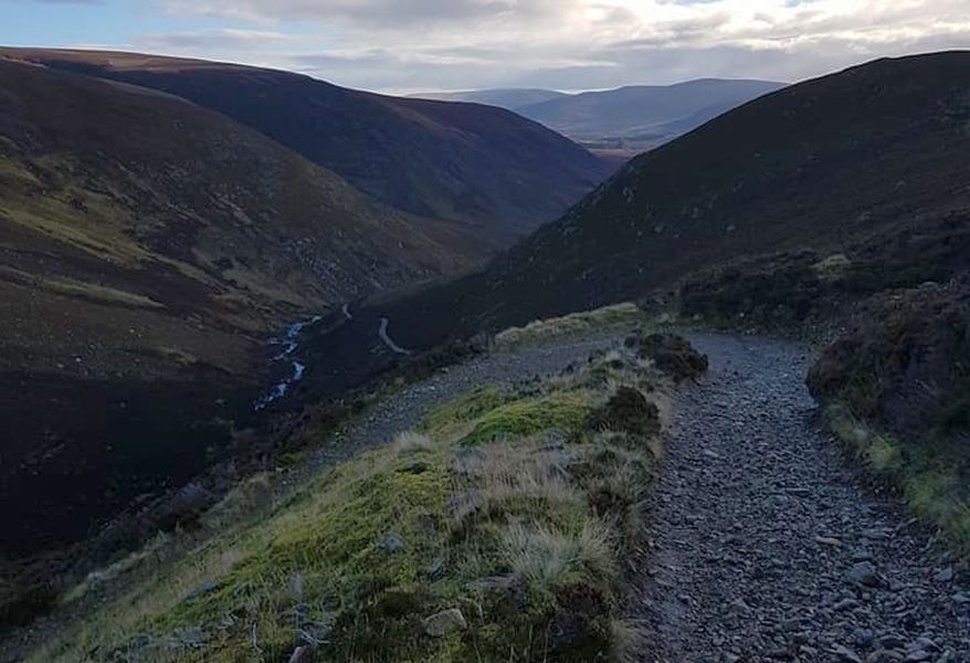
Approach to Mount Keen |
 |
|
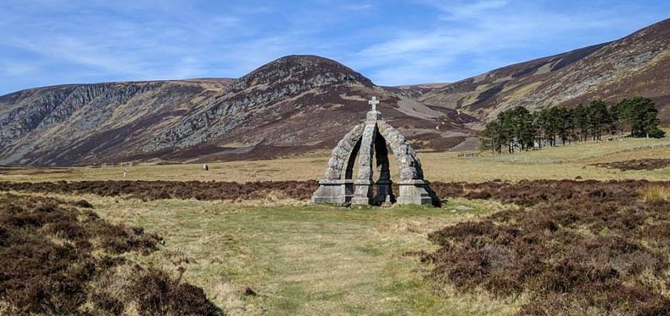
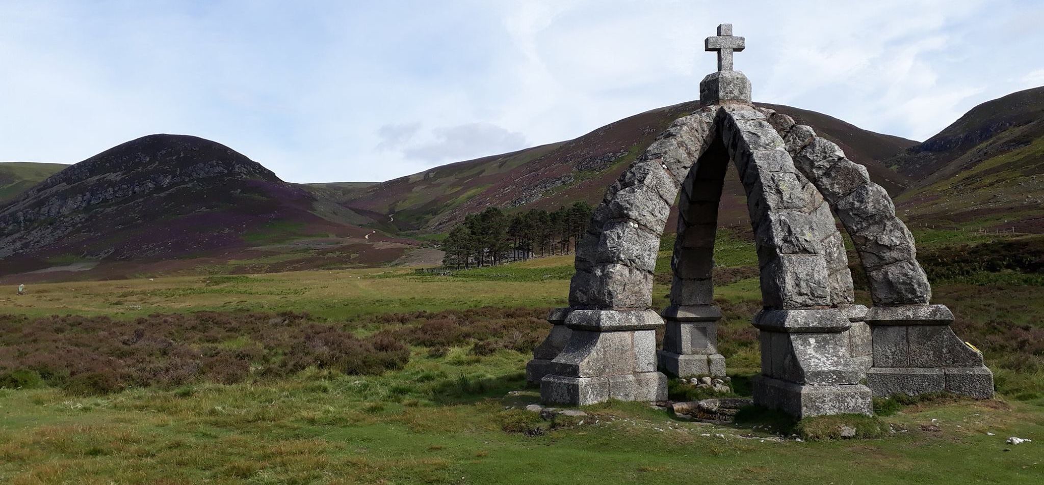
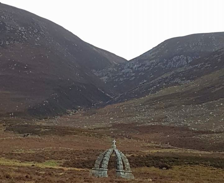
Mount Keen The ornamental Queen's Well in
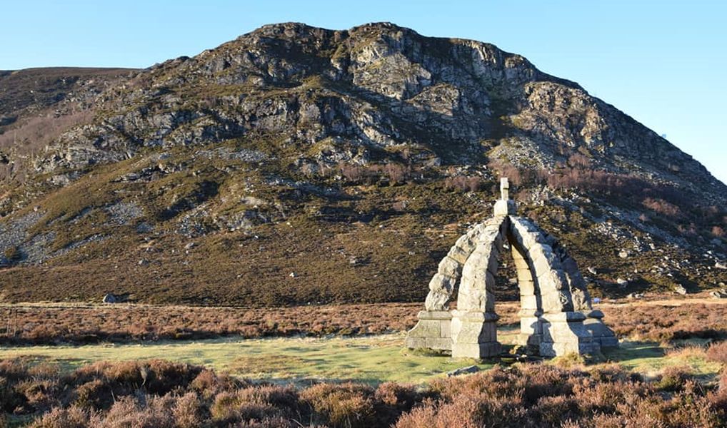
Glen Esk - erected to commemorate visit by Queen Victoria |
 |
|
Queen's Well in Glen Esk |
 |
|
Mount Keen |
 |
|
Glen
Esk
|
 |
|
Glen
Esk
|
 |
|
Glen
Esk
|
 |
|
Glen
Esk
|
 |
|
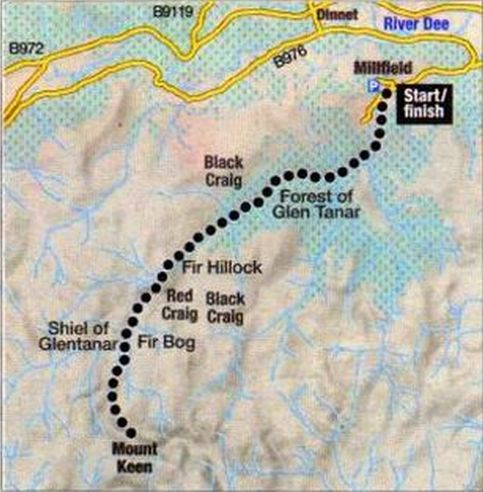
Route Map for Mount Keen |
MOUNT KEEN - ROUTE DESCRIPTION:
 |
|
Route Map for Mount Keen |
MOUNT KEEN :
Scotland's most easterly Munro is best approached by mountain bike from the top of Glen Esk.
Cycle in to an ornate well dedicated to Queen Victoria at the base of the peak and trek to the summit
on an easy-to-follow path.
START/FINISH: Car park at end of Glen Esk public road ( grid ref NO 446804 ).
DISTANCE: 17km /10.5 miles.
TOTAL ASCENT: 698m.
MAP: Ordnance Survey 1 :50,000 Landranger sheet M
ROUTE:
Follow the good track 4km up Glen Mark to the Queen's Well.
Continue on past the cottage at Glenmark, climbing steeply over open hillside.
Just before the track ends is a junction where two paths continue.
Take the right-hand path and follow the wide, eroded route to the summit trig point.
Return by the same route.
OTHER WALKS IN THE AREA:
From the end of the Glen Esk public road, a track leads past an ancient castle and ruined church to Loch Lee.
Continue up the glen to the Falls of Unich and the Falls of Damff.
WHERE TO STAY:
The Panmure Arms in Edzell is a family-run hotel at the foot of Glen Esk that offers B&B from £47.50 single and £70 double.
Tel: 01356 648 950 or visit www.panmurearmshotel.co.uk
Scottish Peaks : Scotland Index :: Scotland Walks