  |
Scottish TownsKilsyth |
  |
Town
of Kilsyth
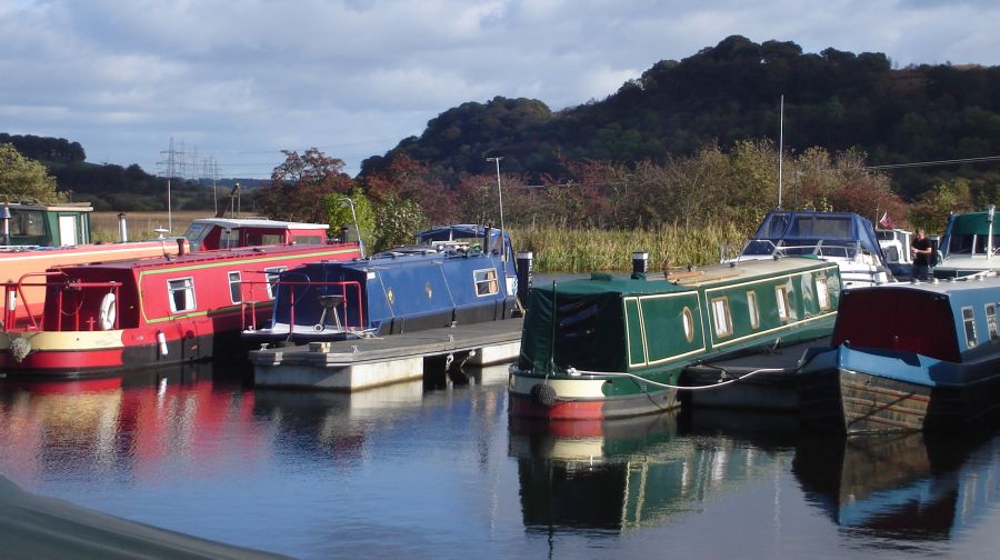
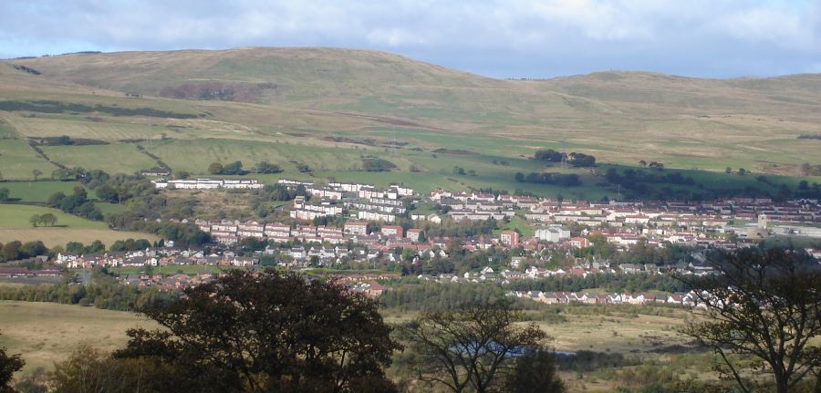
Kilsyth occupies a narrow strip of land between the Kilsyth Hills to the north and the River Kelvin to the south. Kilsyth is approximately midway between Glasgow and Stirling in the central belt of Scotland. The Forth and Clyde Canal runs close by to the south about 1 mile from the town centre. |
Anderson
Church
in Kilsyth town centre. Kilsyth Anderson Church was originally known in 1768 as the RELIEF Church, being a breakaway from the Established Church. In October 1900, on the Union of the United Presbyterian and Free Churches, the congregation decided that the building be known as the Anderson Church. |
Burns
and Old Parish Church
in Kilsyth Kilsyth has a long tradition of radical Protestantism. |
Methodist
Church in Kilsyth
|
Cemetery
at Kilsyth
|
 Old
photo of Kilsyth
|
Colzium
Mansion House
in Colzium Lennox Estate at Kilsyth |
Craig
En Goyne
at Kilsyth |
Flooded
old quarry
at Auchinstarry Park at Kilsyth Kilsyth was formerly rich in mineral resources. The cliffs are an outcrop of quartz microgabbro ( a type of igneous / volcanic rock ). The quarry opened in the early 1800s. It supplied kerbs and cobblestones to the city of Glasgow |
 Flooded
old quarry
at Auchinstarry Park at Kilsyth |
|
Flooded
old quarry
at Auchinstarry Park at Kilsyth |
|
Swans
in quarry
at Auchinstarry Park at Kilsyth |
Climbers
on quarry rock face
in Auchinstarry Park. |
|
|
 |
 Kilsyth
Hills
above town of Kilsyth from Roman Fort on Barr Hill at Twechar |
 Location
Map for Kilsyth and
Tomtain
|
 :: Kilsyth
Gallery
Glencoe | Ben Nevis | Knoydart | Isle of Skye | Isle of Arran
The Eastern Highlands | The Central Highlands | The Southern Highlands | The NW Highlands