  |
City of Glasgow Cathkin Braes Country
Park
|
|
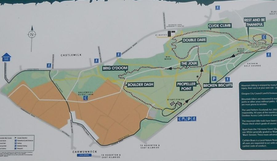 Map
of Cathkin Braes Country
Park
( Note: Click here or on map for large format copy ) The park is renowned for panoramic views over Glasgow, the Gleniffer Braes, Kilpatrick Hills and Campsie Fells. Ben Lomond may also be seen. The natural environment of the park contains ancient woodlands, grasslands, heath and scrub. Abundant paths make the park ideal for walking, picnics, recreation and environmental study. |
|
Glasgow and the Campsie Fells
from the trig point in Cathkin Braes Country Park The Cathkin Braes have the highest point in Glasgow at a height of some 200 metres Queen Mary's Seat near the high point is from where Mary Queen of Scots is reputed to have watched the Battle of Langside. |
|
Mountain
bike trail
in Cathkin Braes Country Park The park has been selected as the venue for the 2014 Commonwealth Games mountain bike races. |
Dumgoyne
and the Campsie Fells
beyond Glasgow from Cathkin Braes Country Park |
Woods
in Cathkin Braes Country
Park
|
Mountain
bike trail
in Cathkin Braes Country Park |
Wind
Turbine
in Cathkin Braes Country Park |
Signpost
in Cathkin Braes Country Park |
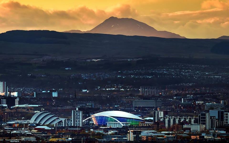 Ben Lomond and Glasgow
from Cathkin Braes Country Park |
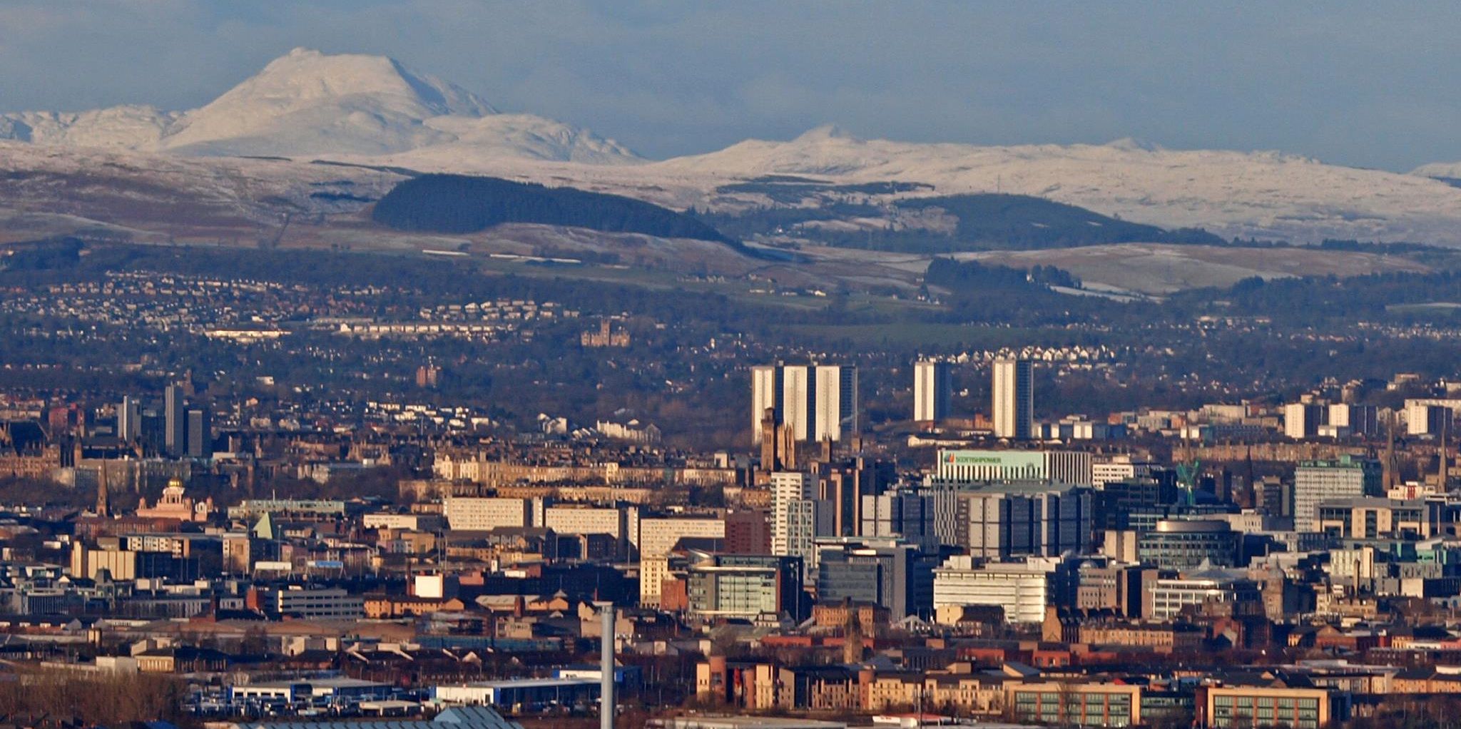 Ben Lomond and Glasgow
from Cathkin Braes Country Park |
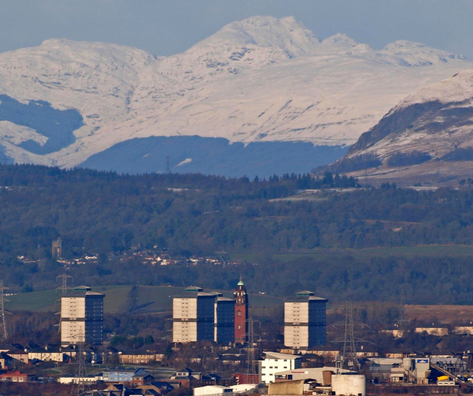 Ben Lomond and Glasgow
from Cathkin Braes Country Park |
 Cobbler
( Ben Arthur ) and Ben Lomond
above Glasgow from Cathkin Braes Country Park |
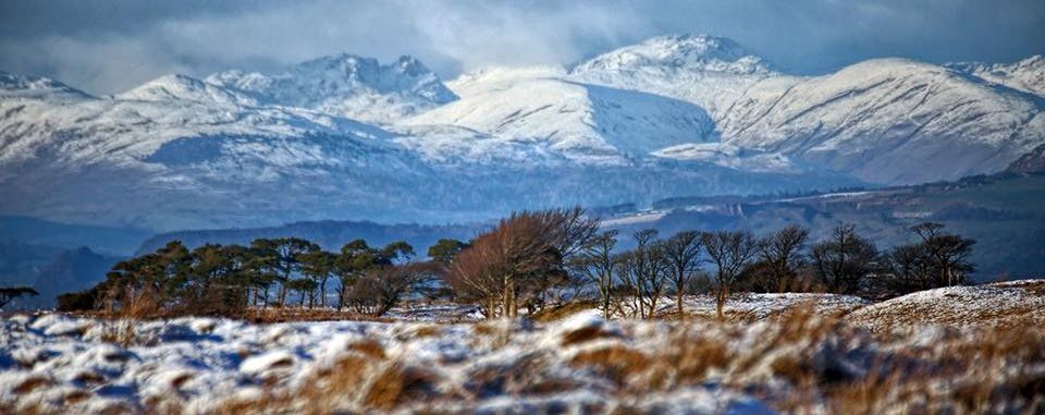 Arrochar
Alps
from Cathkin Braes Country Park |
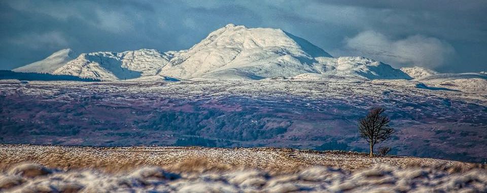 Ben
Lomond
from Cathkin Braes Country Park |
Parish
Church in Carmunnock Village
adjacent to Cathkin Braes Country Park |
Kirk Road
in Carmunnock Village
|
 Magnificent 11 Route Map
|
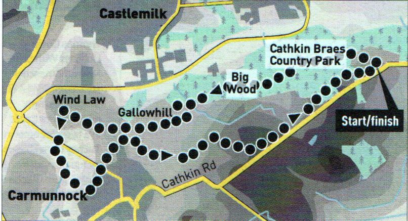 Route Map for
Cathkin Braes Country Park
|
CATHKIN BRAES - ROUTE DESCRIPTION:
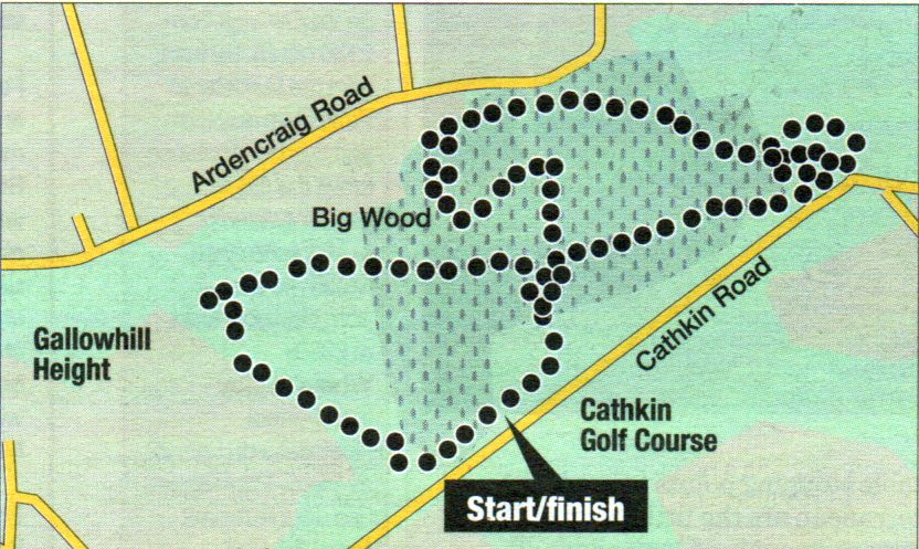 Cycle Route Map for
Cathkin Braes Country Park
|
CATHKIN BRAES CYCLE ROUTE - ROUTE DESCRIPTION:

Glencoe | Ben Nevis | Knoydart | Isle of Skye | Isle of Arran | The West Highland Way
The Eastern Highlands | The Central Highlands | The Southern Highlands | The NW Highlands