  |
The Scottish HighlandsBeinn Bheula
|
  |
Approach to Beinn Bheula ( 2570ft, 783m ) from Lettermay Beinn
Bheula is a Corbett above Loch Goil in the Arrochar Alps Region |
on the ascent of Beinn Bheula |
Approach to Beinn Bheula |
Creag Sgoilte ( south top of Beinn Bheula ) above Lochain nan Cnaimh |

Beinn
Bheula from Lochain nan Cnaimh |
Beinn
Bheula from Beinn Tharsuinn |
Carrick Castle on Loch Goil on ascent of Beinn Bheula |
Beinn
Bheula from Carrick Castle on Loch Goil |
Crags beneath summit of Beinn Bheula on ascent of SW ridge |
Lochgoilhead
and Arrochar Alps from summit of Beinn Bheula and Ben Donich |

Lochgoilhead
and Arrochar Alps from summit of Beinn Bheula and Ben Donich |

from summit of Beinn Bheula and Ben Donich |
|
Beinn
Bheula from Sandbank on the Holy Loch |
from summit of Beinn Bheula |
from summit of Beinn Bheula |
from summit of Beinn Bheula |
from Beinn Bheula Beinn
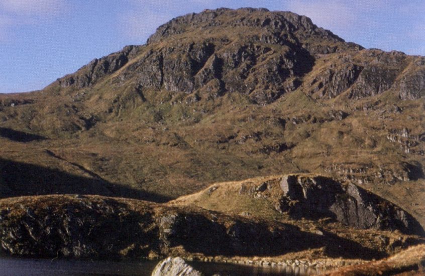
Mhòr is the
highest mountain
in the Cowal peninsula in Argyll |
 Route for Beinn Mhor |
 Route Map for Beinn Mhor |
Crags beneath summit of Beinn Bheula on descent of NE ridge |
Beinn Bheula above Curra Lochain from Beinn Lochain |
Beinn Bheula from The Saddle |
Curra Lochain on descent from Beinn Bheula |
Waterfall on descent from Beinn Bheula The descent route from Curra Lochain follows the route of the Cowal Way from Strachur to Lochgoilhead |
|
|
|
|
beneath Ben Donich |

beneath Ben Donich |
|
It
lies within the Loch Lomond
& Trossachs
NP.
The surrounding area has a mountainous, coastal and forestry landscape. There are two outdoor education centres in the village:- The Lochgoilhead National Activity Centre and the Ardroy Outdoor Education Centre. |
|
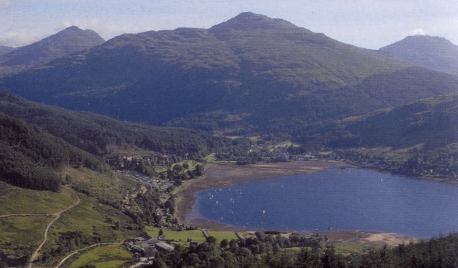
Beinn Bheula and Beinn Tharsuinn from Loch Goil |
|
Sailing in Loch Goil in Argylleshire |
|
Sailing
in Loch Goil in Argylleshire |

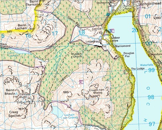
Map for Beinn Bheula |
Google Ads