  |
The Scottish HighlandsMam na Gualainn
|
  |
Beinn na Caillich from Kinlochleven |
Beinn
na
Caillich from the
West Highland Way from Kinlochleven to Fort William |
from Kinlochleven to Fort
William from Beinn na Caillich |
from Beinn na Caillich |
Stob Ban ( 3278ft, 999m ) in The Mamores from Beinn na Caillich |
Sgurr
a' Mhaim ( 3606ft, 1099m ) from Beinn na Caillich |

Sgurr a'
Mhaim in The Mamores from Beinn na Caillich |
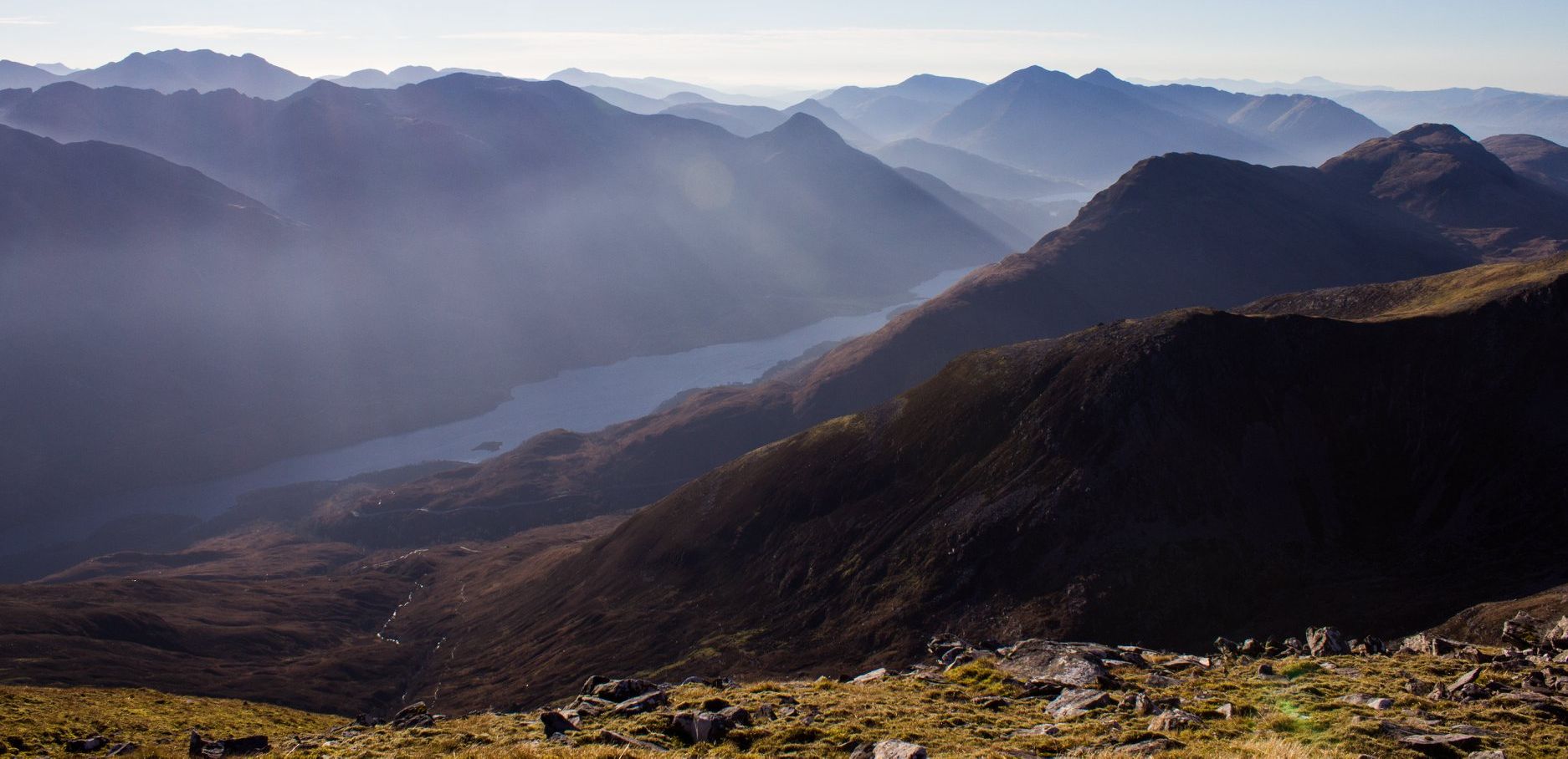
Beinn na Caillich and Mam na Gualainn from The Mamores |
|
|
|
|
|
|
Mamores
and Beinn
na
Caillich from Mam na Gualainn |
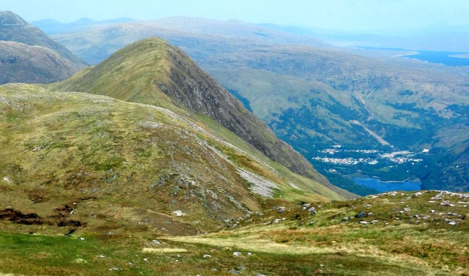
Beinn na
Caillich and
Kinlochleven from Mam na Gualainn |
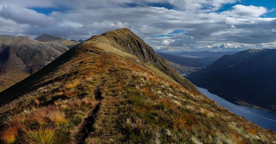
Ridge from Mam na Gualainn to Beinn na Caillich |
above Ballachulish and Loch
Leven from trig point on Mam na Gualainn |
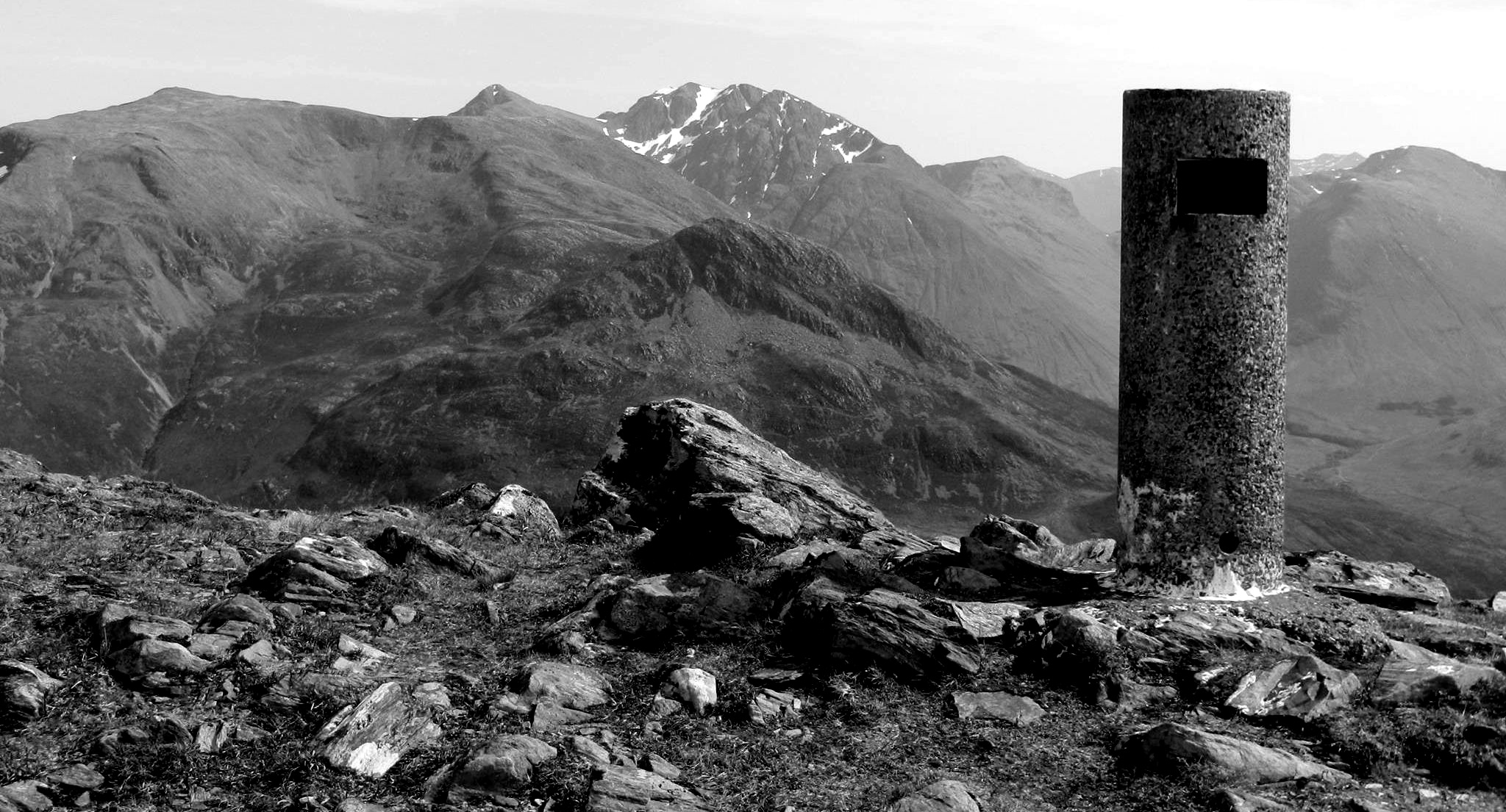
Sgurr a'
Mhaim in The Mamores from trig
point on Mam na Gualainn |
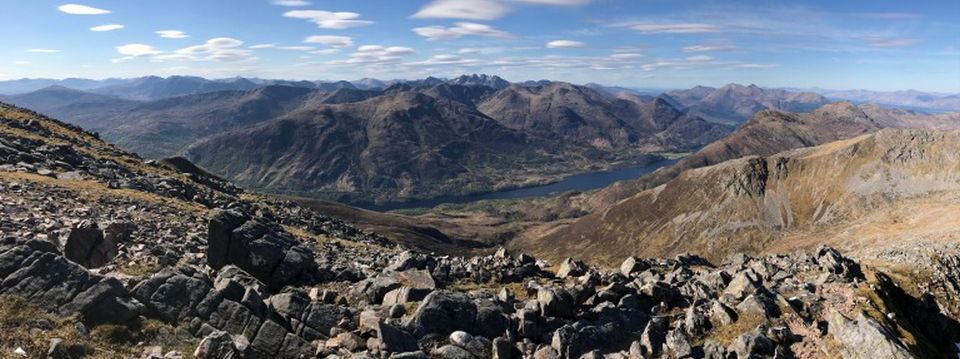
from Mam na Gualainn |
 |
|
Garbh Bheinn
|
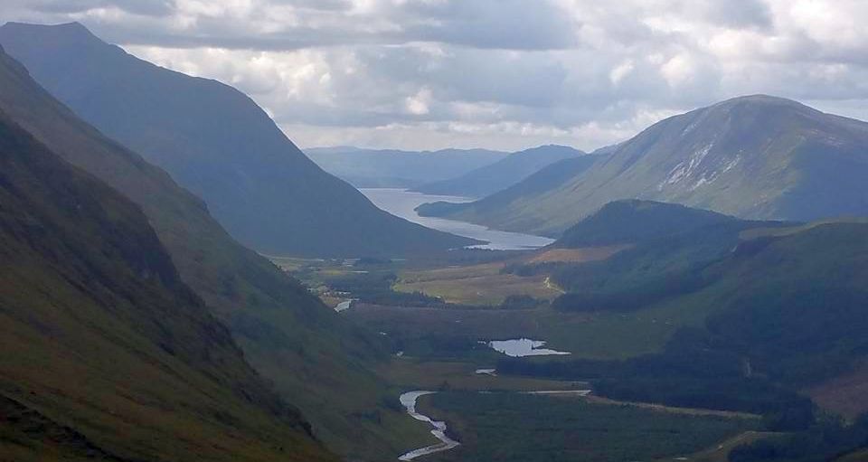
Beinn a' Bheithir and Mam na Gualainn above Loch
Leven from Glencoe |
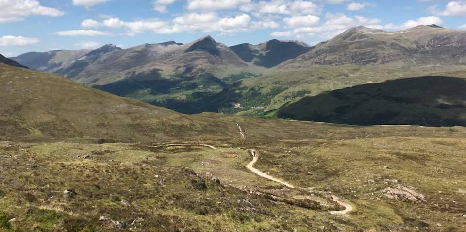
Mam na Gualainn and Beinn na Caillich from West Highland Way to Kinlochleven |
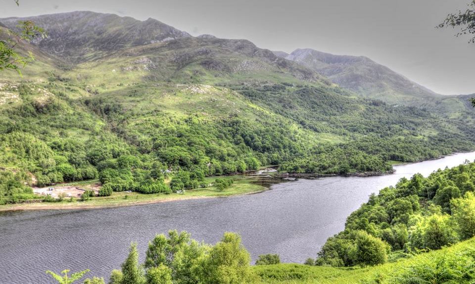
Mam na Gualainn and Beinn na Caillich above Loch Leven |
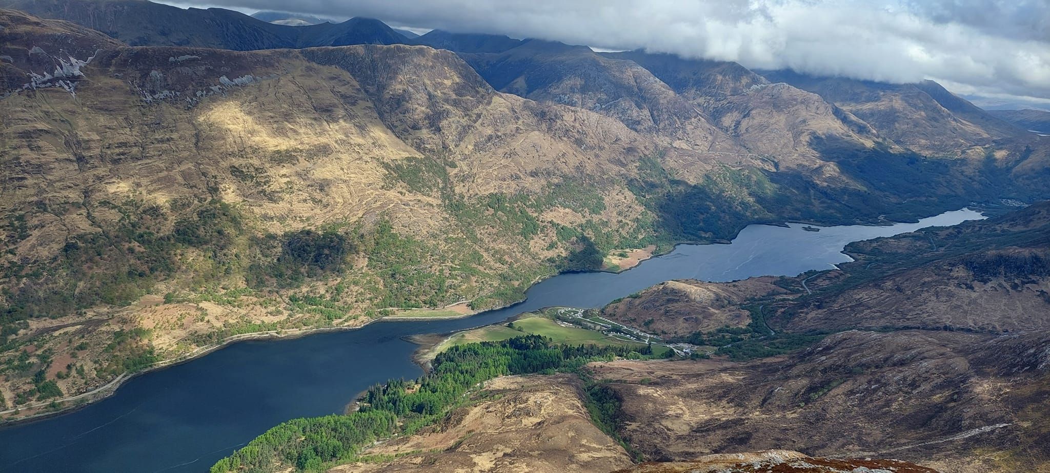
Mam na Gualainn and Beinn na Caillich above Loch Leven |
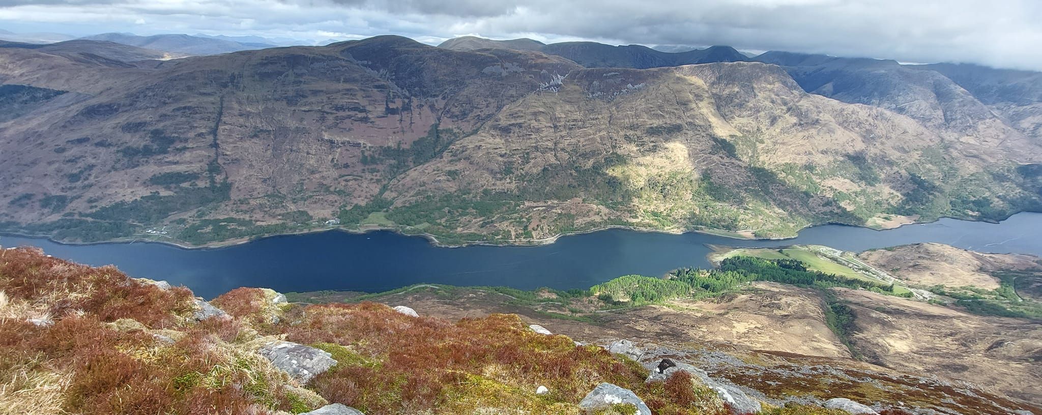
Mam na Gualainn and Beinn na Caillich above Loch Leven |
beneath The Mamores |
|
Mam na Gualainn above Loch Leven |
Mam
na Gualainn from the Corran Ferry at Ballachulish |
Mam na Gualainn from above Ballachulish |
|
Map of Mam na Gualainn and Beinn na Caillich |
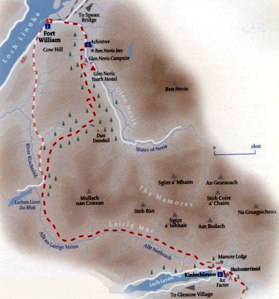 |
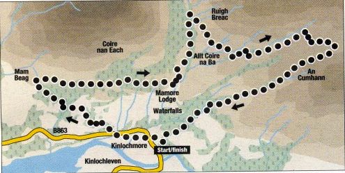 Map for Kinlochleven Walk
|
KINLOCHLEVEN WALK - ROUTE DESCRIPTION
The crumbling remains of the old aluminium smelter have not done it any favours but Kinlochleven has one of the scenically finest positions in Scotland.
Tucked away at the head of Loch Leven, the village nestles at the foot of the Mamore Forest and is dominated by high peaks and soaring ridges.
Few villages are so naturally blessed with such a magnificent situation. lndeed one well-known mountaineer once suggested it was a
"deplorable town in a delectable setting“. The delectable setting is well worth exploring.
Follow the signposted footpath which starts behind the church.
This route offers a good mid-level circular walk that provides extensive views down the length of Loch Leven and
across to the high tops of the Mamores and the northern corries of Glen Coe's Aonach Eagach ridge.
Using footpaths and stalkers‘ tracks it climbs the western slopes of Meall on Doire Dharaich before meeting
up with a track that runs west, following the curves of the southern slopes of Na Gruagaichean into Coire na Ba where it crosses
the Allt Coire na Ba by a footbridge and turns
back on itself, descending south then west, to Mamore Lodge Hotel once used as a shooting lodge by King Edward VII.
You can descend from the hotel by a tarmac road but it's much better to continue past the buildings and out of the
trees with a wonderful view down the length of Loch Leven, with the twin portals of the Pap of Glencoe on the left
and Beinn na Caillich on the right.
From this point look out for the amazing zig-zag footpath running up the north-east slopes of Beinn na Caillich.
Such marvellous old stalkers‘ paths are a feature of this area.
Soon you'll see a wooden marker post on your left beside a small cairn. This post, with its white thistle emblem,
marks the West Highland Way. The section from here, through the Latrigmore to Fort William is one of the finest.
However drop down to the left where the path enters the trees for the long descent to the B863 and Kinlochleven.
 :: Mamores
Gallery
Ben Nevis | Knoydart | Isle of Skye | Isle of Arran | The West Highland Way
The Eastern Highlands | The Central Highlands | The Southern Highlands | The NW Highlands